The Three Basins
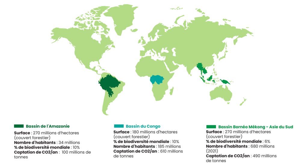
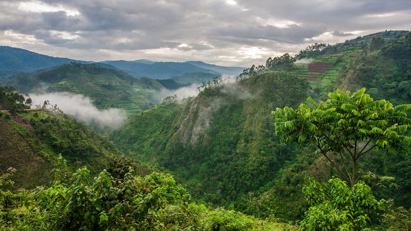
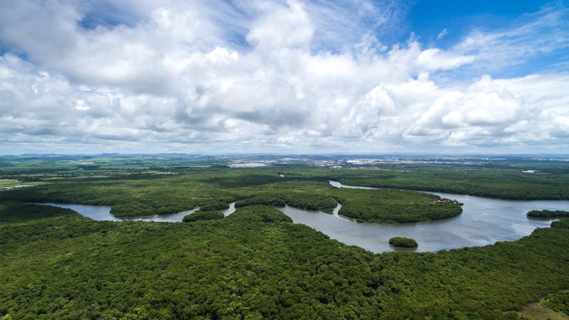
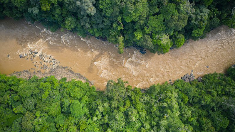
The CONGO Basin
The CONGO Basin
It plays a crucial role in the stability of the global climate, with its forest cover and peatlands sequestering the equivalent of 10 years of global CO2 emissions. More than 10,000 species of tropical plants and endangered species are found in the region, including 30% endemic, such as forest elephants, plain and mountain gorillas, and okapis. In total, more than 400 species of mammals, 1,000 species of birds, and 700 species of fish are found there.
The Congo Basin is now deeply threatened by human action. Currently populated by 185 million people, the population is expected to double by 2050. Residential sprawl, small-scale agriculture, and infrastructure development will accelerate the deforestation process, in addition to industrial activities. The area is rich in natural resources, involving the exploitation of minerals, some of which are highly demanded by the technology and digital industry, wood, precious stones, and oil, whose oil contracts, not yet exploited, have been awarded in protected areas of the zone.
From a political and technical point of view, it appears to be the most structured ecosystem. At the request of the Heads of State, expressed during the Yaoundé Declaration in 1999, the Central African countries have established the first political and technical instance for orientation, coordination, harmonization, and decision-making on the conservation and sustainable management of forest ecosystems and savannas in Central Africa. In 2005, the Central African countries adopted the first convergence plan for the harmonization, sub-regional cooperation, development, and strengthening of policies for the sustainable management of forest ecosystems and biodiversity. To ensure active participation of countries in the process of operationalizing the mechanisms provided for and to assert their interests with regard to the crucial role played by natural ecosystems in the Congo Basin in maintaining and regulating global ecological balance, the Central African countries, under the joint impetus of President Sassou-Nguesso and King Mohammed VI, host of COP 22, established the Congo Basin Climate Commission (CCBC) in 2016 under the auspices of the African Union, including all states in the extended Congo River basin and neighboring basins of the Atlantic, Indian Ocean, and Morocco, an original associate member. Its objective is to accelerate the implementation of climate transition and economic transformation of the Congo Basin in a logic of sustainable development.
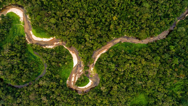
The AMAZON Basin
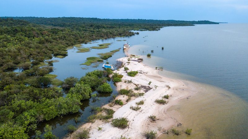
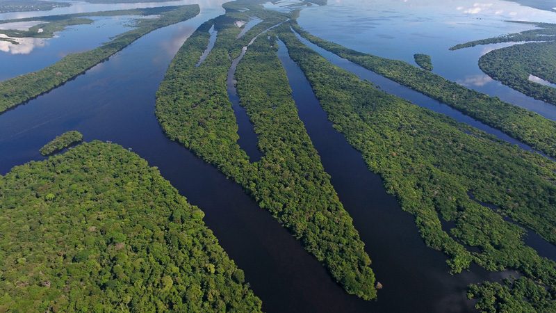
The Amazon Basin is the largest tropical forest on the planet, crossed by the world’s largest river in terms of volume and the second longest, the Amazon River. It extends over 9 countries in South America, including Brazil, representing 60% of the Amazon rainforest, Peru, Ecuador, Colombia, Venezuela, Bolivia, French Guiana, Suriname, and the Republic of Guyana. The Amazon contains 550 million hectares of dense forests, one third of the remaining tropical rainforests on the planet, with nearly 390 billion trees representing 13% of the world’s trees.
It is home to 10% of the world’s biodiversity with 40,000 species of plants, 3,000 species of freshwater fish, and over 370 reptiles, in addition to other still unknown and unrecorded species. With its diverse habitats and wetlands, the region is home to thousands of forest species such as the agami heron, the rock cock, the sloth, the spider monkey, as well as wetland species such as the giant otter and the black caiman. Although a significant portion of the Amazon Basin has been deforested, most of the rainforest remains relatively undisturbed by humans. It has many natural conservation areas and numerous indigenous territories where ethnic groups live under protection statuses.
However, since 1970, the basin has lost over 20% of its original forest. Anthropogenic activities as well as climate change are responsible for the degradation and destruction of the region’s ecosystems. Amazon forests suffer as global demand and intensive production of agricultural products increase, where millions of trees are cut down or burned to make way for vast areas of farming and grazing. Some roads that offer the opportunity to exploit previously inaccessible forests disrupt river connectivity and fragment the territories of many aquatic species. The extraction of gold and other precious mineral resources, oil exploitation, overexploitation of forests, and overfishing attest to the attraction of the region’s natural resources. The rise in temperatures and the decrease in precipitation are causing historically significant droughts that dry up waterways, decimate fish populations, wither crops, and cause forest fires.
The Amazon Basin has an organization, the OCTA (Organization of the Amazon Cooperation Treaty) bringing together eight states with the Amazon rainforest in common, who have signed the Amazon Cooperation Treaty (TCA). OCTA, with a broad vision of the South-South cooperation process, works in different dimensions within the framework of the implementation of the TCA: political-diplomatic, strategic and technical, creating synergies between governments, multilateral organizations, cooperation agencies, organized civil society, social movements, the scientific community, productive sectors, and society as a whole.
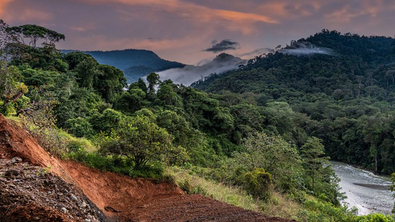
The BORNEO MEKONG SOUTHEST ASIA Basin
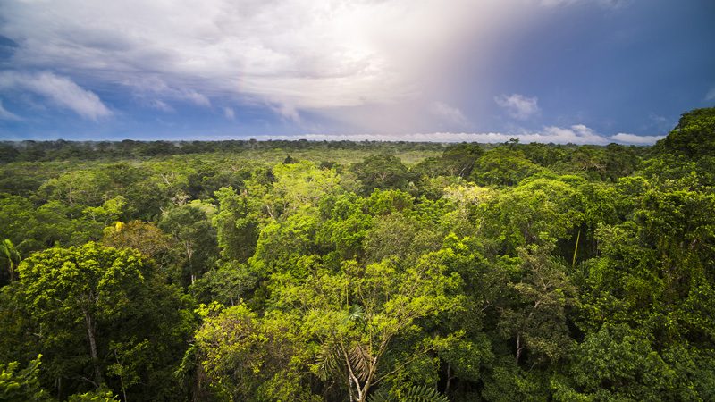
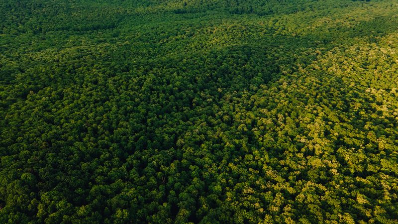
The Borneo-Mekong-Southeast Asia Basin, the world’s third largest carbon sink, is composed of two sub-regions, the island of Borneo and the Mekong River. The Mekong River is one of the largest rivers in the world, crossing six countries: China, Myanmar, Thailand, Laos, Cambodia, and Vietnam, which share the natural resources and land surrounding it. Borneo, the fourth largest island in the world, is divided between Brunei, Malaysia, and Indonesia. The island represents only 1% of the world’s land, but holds about 6% of the world’s biodiversity in its tropical forests, which are the habitat of local populations and indigenous peoples who depend on them for their food and clean water supply.
More than 15,000 plants, including 6,000 endemic species, can be found in the swamps, mangroves, plain and mountain forests. Species include Borneo orangutans and elephants, giant carnivorous plants, and other endangered species such as Sumatran tigers and Sumatran rhinoceroses.
The basin lost approximately 80 million hectares of forests between 2005 and 2015, resulting in a forest loss rate of approximately 8 million hectares per year. Indonesia accounted for nearly two-thirds of this forest loss, followed by Malaysia, Myanmar, and Cambodia.
Deforestation is due to high population growth and exponential urbanization, and solely economic reasons to meet the needs of industries such as palm oil, rubber, pulp and paper, or timber trade. These transformations are not without consequences on the archipelago’s ecosystem: endangered biological diversity, contamination of groundwater, and soil depletion due to pesticide use. The massive expansion of oil palm cultivation for the production of biofuels could lead to the destruction of the last primary forests in the area.
Politically, the Association of Southeast Asian Nations (ASEAN) comprises 10 member states, Indonesia, Malaysia, Singapore, Thailand, and the Philippines, Brunei, Vietnam, Laos, Myanmar, and Cambodia, with the aim of strengthening cooperation among its members and providing a space to address regional issues and collectively weigh in international negotiations.